Utah National Parks Road Trip Itinerary: 7, 10, & 12 Days
Off the Eaten Path’s Utah National Parks Road Trip Itinerary is the ultimate guide to help you plan your trip to see Utah’s Mighty Five, including answering the question: how many days do you need for Utah National Parks?
With 7, 10 and 12 day sample itineraries, this guide highlights the best things to do (including some of the best hikes) during your trip to see all of the natural beauty Utah’s national parks have to offer!
If your looking for other national park planning and travel ideas, check out Two Days in Acadia National Park (including an sample itinerary) and the best tent camping in NC.
Utah boasts several breathtaking national parks (in my opinion, some of the best national parks in the country!), each with its unique charm and characteristics and Off the Eaten Path’s national parks road trip itinerary will help you dive headfirst into the awe-inspiring world of Utah’s national parks.
Collectively known as the “Mighty 5,” these awe-inspiring destinations include Arches National Park, where gravity-defying rock arches and towers pepper the landscape; Canyonlands National Park, a rugged expanse of deep canyons carved by the Colorado River; Capitol Reef National Park, renowned for its mesmerizing Waterpocket Fold and historic orchards; Bryce Canyon National Park, with its enchanting hoodoos; and Zion National Park, home to towering red rock cliffs, deep canyons and thrilling hiking adventures.
While not national parks, Monument Valley’s iconic sandstone formations and the vast wilderness of Grand Staircase-Escalante National Monument add to the region’s allure.
Whether you have seven, ten or twelve days to explore the red rock wonders, towering hoodoos, and ancient canyons of Utah’s Mighty 5, this guide can help you plan every stop along the way to seeing some of the most jaw-dropping, beautiful landscapes you can find in the United States.
HOW LONG DOES IT TAKE TO DO 5 NATIONAL PARKS IN UTAH?
The question that probably brought you to this post: how many days do you need for Utah National Parks?
The amount of time it takes to visit all five national parks in Utah—Zion, Bryce Canyon, Capitol Reef, Arches, and Canyonlands—can vary widely depending on several factors, including your travel pace, interests, the level of exploration you desire in each park, and whether or not you want to visit national monuments, state parks and other attractions as well.
For most people, somewhere between seven and fourteen days will be the perfect amount of time to explore what Utah’s stunning landscape and national parks have to offer. I’ve listed three options below, keeping in mind I think the sweet spot is somewhere between one and two weeks (we took our trip for 12 days, visiting six national parks because we added in Rocky Mountain National Park in Colorado and spent a couple days with a friend in Denver before driving to Utah. We spent 8 days of our trip solely dedicated to Utah, and probably could have added one to two more days to move at a slower pace or have a little bit more time, especially in Capitol Reef and Bryce Canyon).
Just the highlights (7-10 Days):
If you’re looking to visit the main highlights of each park without delving too deep into specific trails or activities, a week to ten days is perfect. This leaves approximately one to two days per park to explore the most famous areas and viewpoints, hike and capture iconic scenery without feeling incredibly rushed.
More detail exploration (12-14 Days):
You need to plan a trip for 12 to 14 days in order to dedicate two to three days to each of Utah’s national parks and explore each park more thoroughly and experience some longer hikes and different activities.
In-Depth Adventure (3-4 Weeks):
I know that a three to four week vacation is definitely not possible for everyone, but if you’re looking for a comprehensive and in-depth experience, particularly if you’re an avid hiker, photographer, or nature enthusiast. This extended time frame enables you to hike longer trails, engage in backcountry camping, and truly connect with the diverse ecosystems and geology of each park.
No matter which itinerary you choose, keep in mind that you need to build in travel times between the parks, and travel between parks and within the parks themselves can vary due to distances and road conditions. Additionally, the time of year you visit can impact your travel plans, as some parks may be busier or have certain activities available only during specific seasons. I’ve outlined three sample Utah national park road trip itineraries at the bottom of this post, one for seven days, one for ten days and one for twelve days.
To make the most of your visit and ensure you have a well-rounded experience, consider researching each park’s top attractions and activities in advance and plan your itinerary accordingly. See the sample itineraries below for some examples of different lengths of trips!
WHAT IS THE BEST MONTH TO VISIT UTAH NATIONAL PARKS?
The best time of year to visit Utah’s national parks depends on your preferences and priorities. Each season offers unique advantages and drawbacks in terms of weather, crowds, and activities.. Here’s a breakdown of the best times to visit these parks based on the seasons:
Spring (March to May):
Spring is an excellent time to visit southern Utah, including Zion, Bryce Canyon, and Capitol Reef. The weather is generally mild, with daytime temperatures ranging from comfortable to warm.
Wildflowers start to bloom, adding vibrant colors to the desert landscapes, making it a great time for photography.
Crowds are relatively lighter compared to the peak summer months, allowing for a more peaceful and enjoyable experience.
Be prepared for occasional rain showers and cooler nights, especially in early spring.
Summer (June to August):
Summer is the peak season for Utah’s national parks, particularly Zion and Arches. The warm and sunny weather is perfect for outdoor activities such as hiking and camping. However, be prepared for large crowds during high season, especially in popular parks like Zion, where parking and trail congestion can be challenging.
Longer daylight hours provide ample time to explore the parks and take in the stunning vistas. But be prepared, summer weather in central and southern Utah is hot, with highs climbing into the 90s and sometimes 100s in June, July and August. A good way to manage the summer heat is to hike in the early morning and late afternoon, and take a break during the height of the day.
Make campground, timed entry and permit reservations well in advance if you plan to visit during the summer months.
Fall (September to November):
Fall is often considered the best time to visit Utah’s national parks due to the pleasant weather and the stunning display of autumn foliage, especially in Bryce Canyon and Zion. To witness the vibrant fall colors, plan your visit for late September to early October.
Crowds begin to thin out after the summer rush, providing a more peaceful experience on the trails and at viewpoints. We planned our trip for mid-September and some of the most popular parks, like Zion and Arches, were still busy, but not overwhelmingly crowded. If you don’t have school aged children, waiting to plan your trip until after Labor Day will ensure less crowds because kids are back in school!
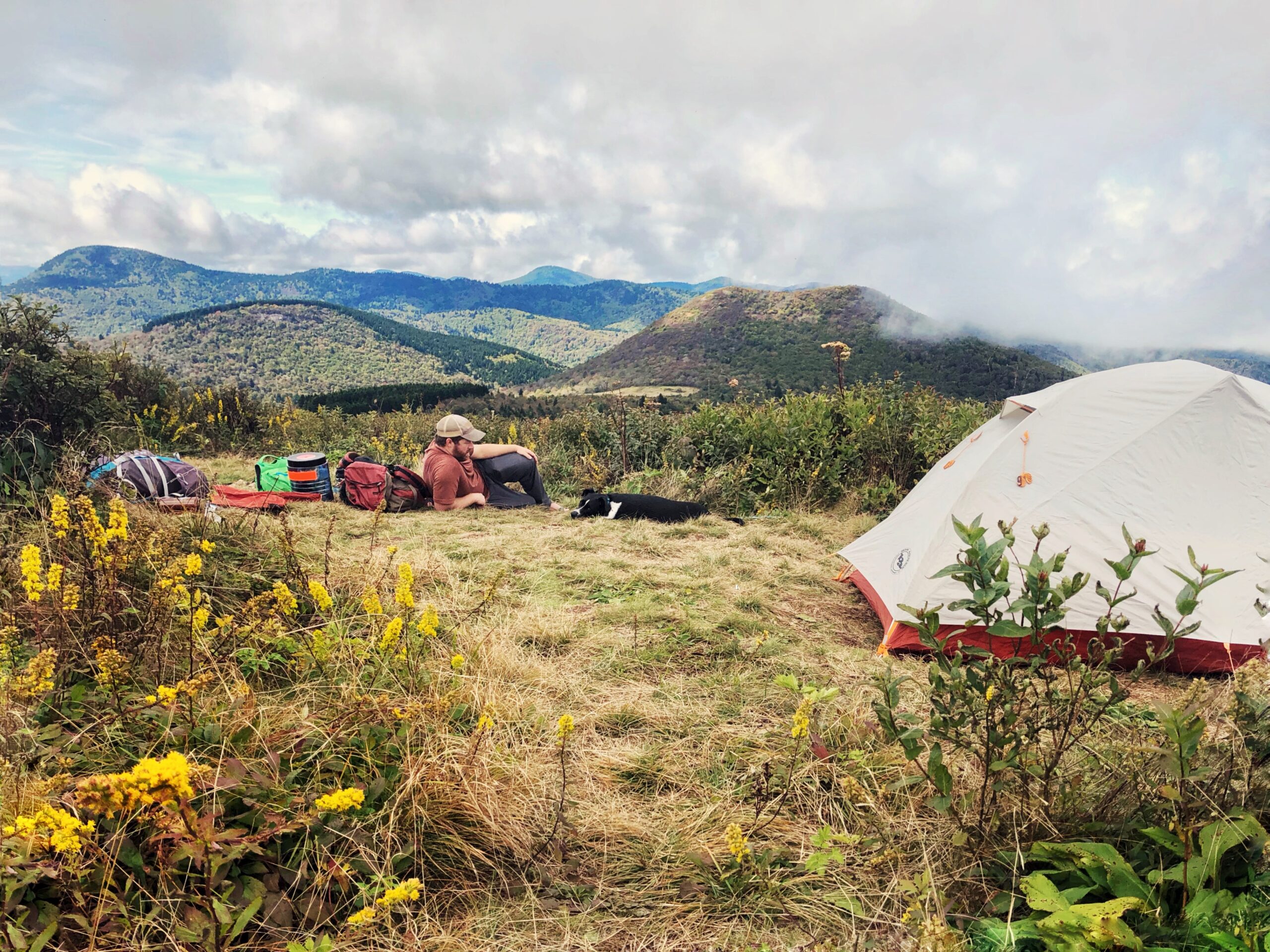
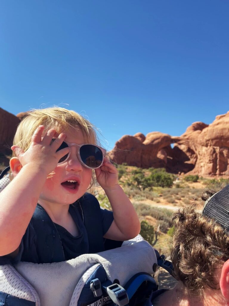
Cooler temperatures in the evenings make it a comfortable time for camping and outdoor activities. We camped for the entirety of our trip and night time temperatures were in the 50s and low 60s, making it perfect for evenings around the fire.
Winter (December to February):
Visiting Utah’s national parks in winter offers a unique and serene experience. The parks, such as Bryce Canyon and Canyonlands, take on a tranquil beauty with snow-covered landscapes.
While some hiking trails may be inaccessible due to snow, there are opportunities for winter activities like snowshoeing and cross-country skiing.
Fewer tourists mean you can enjoy the parks in relative solitude, and accommodations may be more affordable. If you are trying to do popular hikes that require permits like Fiery Furnace or The Subway, it is easiest to get a permit during winter months.
Keep in mind that some park facilities may be closed during the winter months, and road conditions can be challenging, so plan accordingly.
WHAT ORDER SHOULD I VISIT UTAH NATIONAL PARKS?
Many people planning their Utah National Park Road Trip are likely planning to fly in and rent a car (or maybe an RV or camper van), but if you live nearby you can drive and I would just start at the park that is closest to home (for example, if you live in Denver, I’d drive the five and a half hours to Moab and start at Arches and Canyonlands and go from there).
If you are flying, there are two main airport hubs that can start your adventure visiting the Utah Mighty Five: Salt Lake City International Airport and Harry Reid International Airport in Las Vegas.
Both of these airports are major international airports with a lot of flights, airlines and options.
From Salt Lake City, Moab is about a four hour drive and Zion is also about a four hour drive. From Las Vegas, Zion is a two or two and a half hour drive and Moab is a six and a half hour drive. Denver International Airport is another option, especially if you want to add on any of the National Parks in Colorado to your trip, and it is about a five and a half hour drive from Moab.
There are also several regional airports in Utah (like Moab and St. George) that offer connecting flights to major airports, but because of their size, costs could be increased. We ended up flying out of St. George on our trip because the cost of our flight was the same price as flying out of Las Vegas, and it saved hours on driving time.
When starting to plan your itinerary, you should think about a few things:
Will you be flying into and out of the same city and airport?
What is the cost to fly out of two different airports?
What is the cost of a rental car, RV camper, or camper van?
Is there a difference in cost for your rental vehicle if you fly in and out of the same airport or different airports?
NATIONAL PARK ENTRANCE FEES
While some National Parks or other lands managed by the National Park Service, US Fish and Wildlife Service, Bureau of Land Management, or US Forest Service are free to visit, many popular ones have entrance fees; park entrance fees help with critical maintenance, staffing and upgrades throughout the park.
There are several different options when you enter Utah National Parks: you can pay for an individual visit, a 7 day park pass, a regional park pass, or a park pass that is good at all national parks (also called the America the Beautiful pass). A pass or entrance fee covers the pass owner and all occupants in a personal vehicle at sites that charge per vehicle or, the pass owner and up to three additional adults (16 and over) at sites that charge per person. Children ages 15 or under are admitted free.
We decided since we were visiting six parks during this trip, and an America the Beautiful Pass is good for one year from date of purchase, that it made the most sense to buy an America the Beautiful pass for $80. You can buy an America the Beautiful pass online before your trip or at the entrance stations to the parks. The breakdown of individual park entrance fees are below.
Arches: $30 per private vehicle, $25 per motorcycles, $15 per person without a vehicle; Southeast Utah Parks Annual Pass: $55/vehicle (includes Arches, Canyonlands and Natural Bridges)
Bryce Canyon: $30 per private vehicle, $25 per motorcycle, $15 per person without a vehicle
Canyonlands: $30 per private vehicle, $25 per motorcycle, $15 per person without a vehicle Southeast Utah Parks Annual Pass: $55/vehicle (includes Arches, Canyonlands and Natural Bridges)
Capitol Reef: $30 per private vehicle, $15 per motorcycle, $10 per person without a vehicle
Zion: $35 per private vehicle, $30 per motorcycle, $20 per person without a vehicle; Annual Pass to Zion, $50/vehicle
ARCHES NATIONAL PARK
We spent three nights in the Moab area (one full day at Arches, one full day at Canyonlands, and then an afternoon exploring downtown Moab when we arrived from Denver and a morning at Dead Horse Point State Park before starting our drive toward Capitol Reef).
We’d recommend planning one full day to explore Arches (in my opinion, I don’t think you need more than a day in Arches if you get there early!) which is home to over 2,000 documented arches, pinnacles, balanced rocks, fins and other geological formations.
Timed entry tickets are needed to enter Arches National Park from April to October (between 7am and 430pm, you can enter without timed entry before 7 or after 430) and they are available on a first come, first serve basis three months in advance (we booked ours online exactly three months before our trip).
We booked the 7AM to 8AM timed entry and arrived at the park around 730AM, with a packed lunch, cooler and a plan to spend the entire day there. We left around 430 or 5pm, when we were hot, tired, had seen most of what we wanted to see, and the park was feeling crowded (we battled more and more crowds throughout the day as Arches is a very popular park but while it was busy, it never felt overwhelming).
We were there in mid-September, making the morning cool and then it got a lot hotter later in the day, making hikes a little harder, especially with limited shade. We battled the heat with tons of water, light layers, sunscreen, patience (for the aforementioned crowds), and took our time on our afternoon hikes so we wouldn’t get overheated.
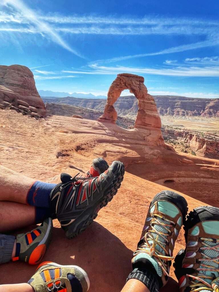
We planned our longest hike, Delicate Arch, for the morning, when it would be the coolest and least crowded, although the trail was still busy!
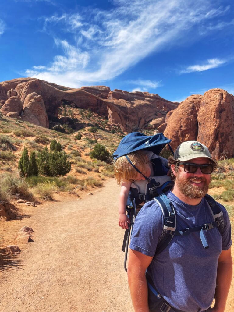
AJ’s favorite hike in Arches was Devil’s Garden, which is a choose your own adventure type of hike depending on your mood and ability…if you’re looking for a shorter hike, you can hike to Landscape Arch and turn around, or you can hike up to 7.9 miles, seeing seven (or more!) different arches, Landscape Arch, Tunnel Arch, Pine Tree Arch, Partition Arch, Navajo Arch, Double O Arch, and Private Arch, on a primitive trail.
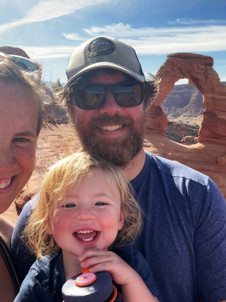
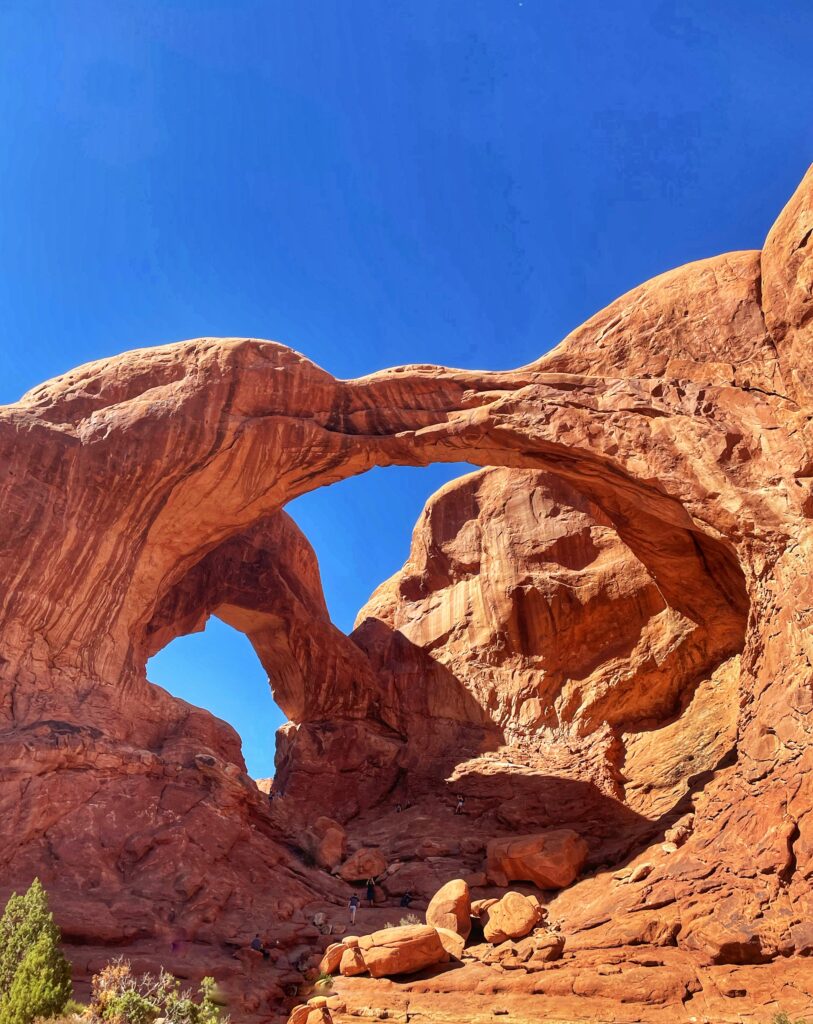
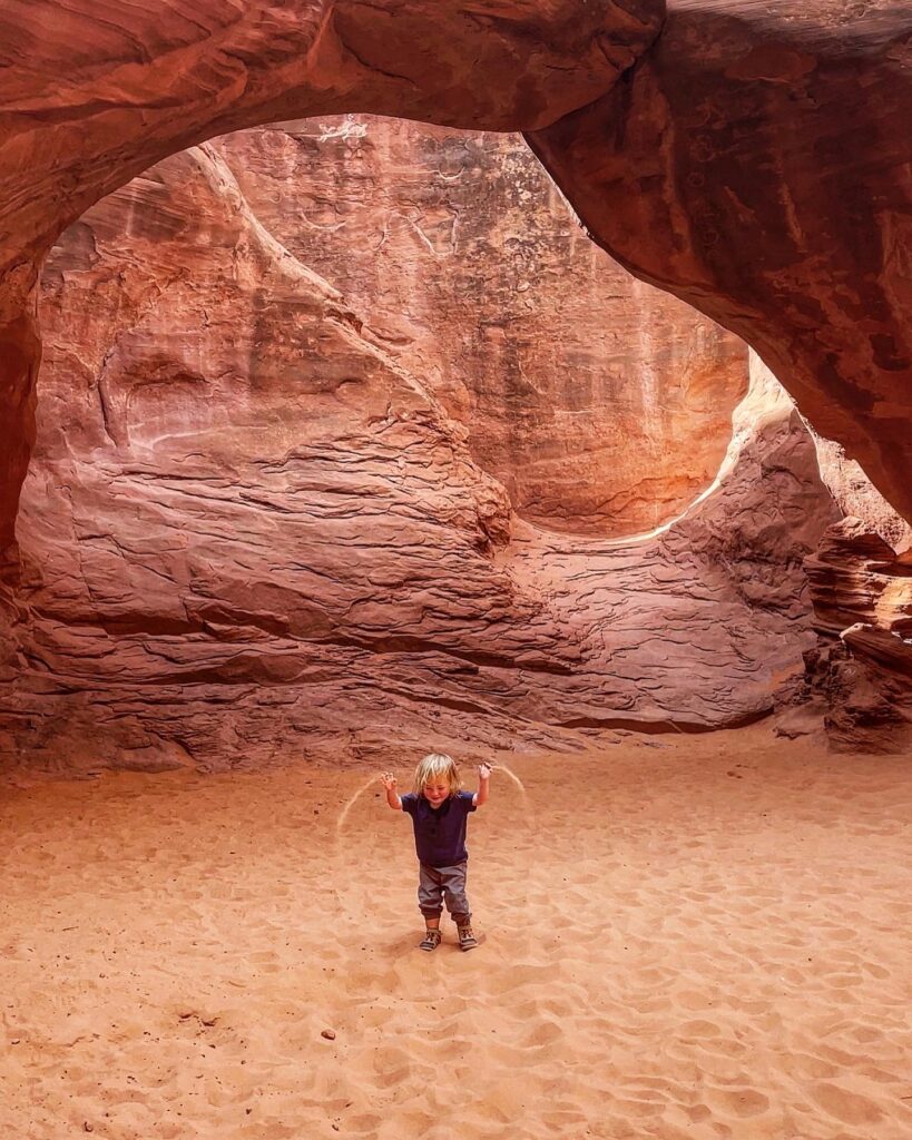
My favorite hike was Delicate Arch and Dylan’s was Sand Dune Arch. The Delicate Arch is probably the most famous arch (the one you see on Utah’s license plates) and it is a 3.5 round trip hike, including a relatively steep climb up some slick rock. It’s definitely the most popular hike in the park but I think it’s worth it! We all really liked the short hike to Double Arch too!
Another popular hike in Arches is Fiery Furnace, a 2.1 hike through a natural labyrinth of narrow passages between towering sandstone walls along slickrock and sandy washes with no official trail. You either need to go on a ranger led hike to Fiery Furnace (which requires an advance reservation and costs $16) or need an individual, Self-Guided Exploration permit (permits are day-use only and must be reserved online at least two days prior to the trip date, with a max of seven days in advance. Group size is limited to six people and children under age five are not allowed. Cost is $10 per person).
Great hikes in Arches National Park:
Delicate Arch, 3.5 miles
Devil’s Garden, up to 8 miles
Windows Loop and Turret Arch, 1 mile
Fiery Furnace, 2 miles
Park Avenue, 1.8 miles
Balanced Rock, 0.3 miles
Broken Arch, 1.2 miles
Courthouse Towers, 1.8 miles
Double Arch, 0.6 miles
Sand Dune Arch, 0.4 miles
CANYONLANDS NATIONAL PARK
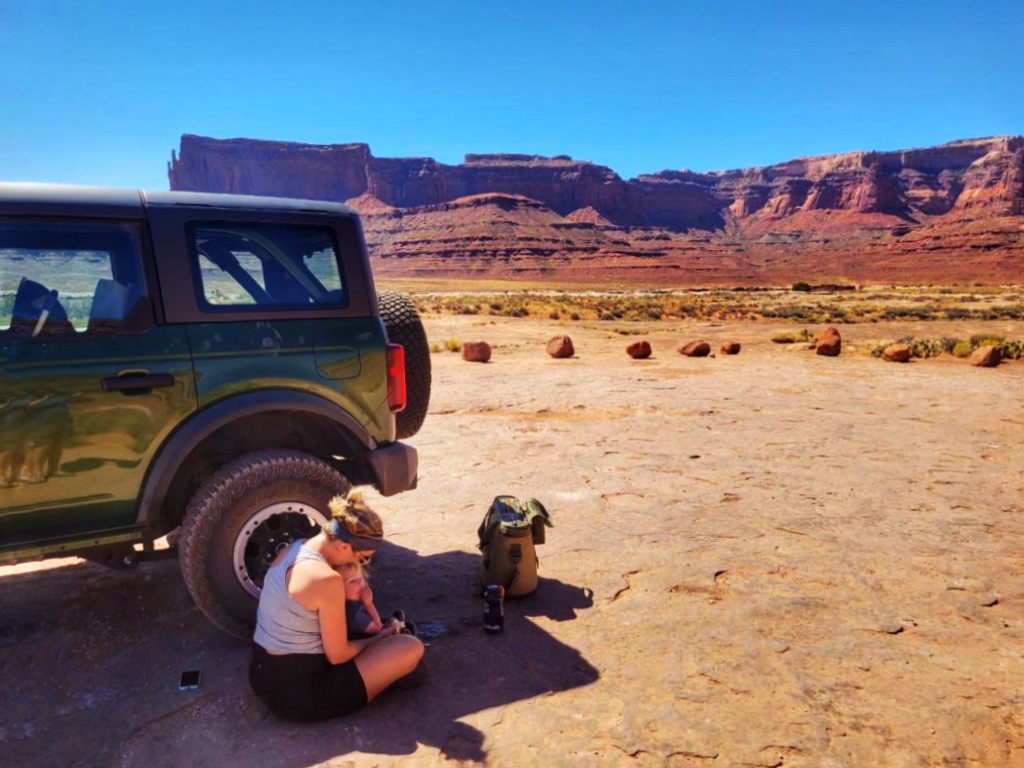
One of the highlights of our 12 day trip was the day we spent in Canyonlands exploring the backcountry in a Bronco!
Shafer trail is an iconic road that descends 1500 feet through a colorful, massive sandstone cliff via a series of switchbacks, and connects to the White Rim Road, a 100-mile road that loops around and below the Island in the Sky mesa top in Canyonlands National Park and provides expansive views of the surrounding area.
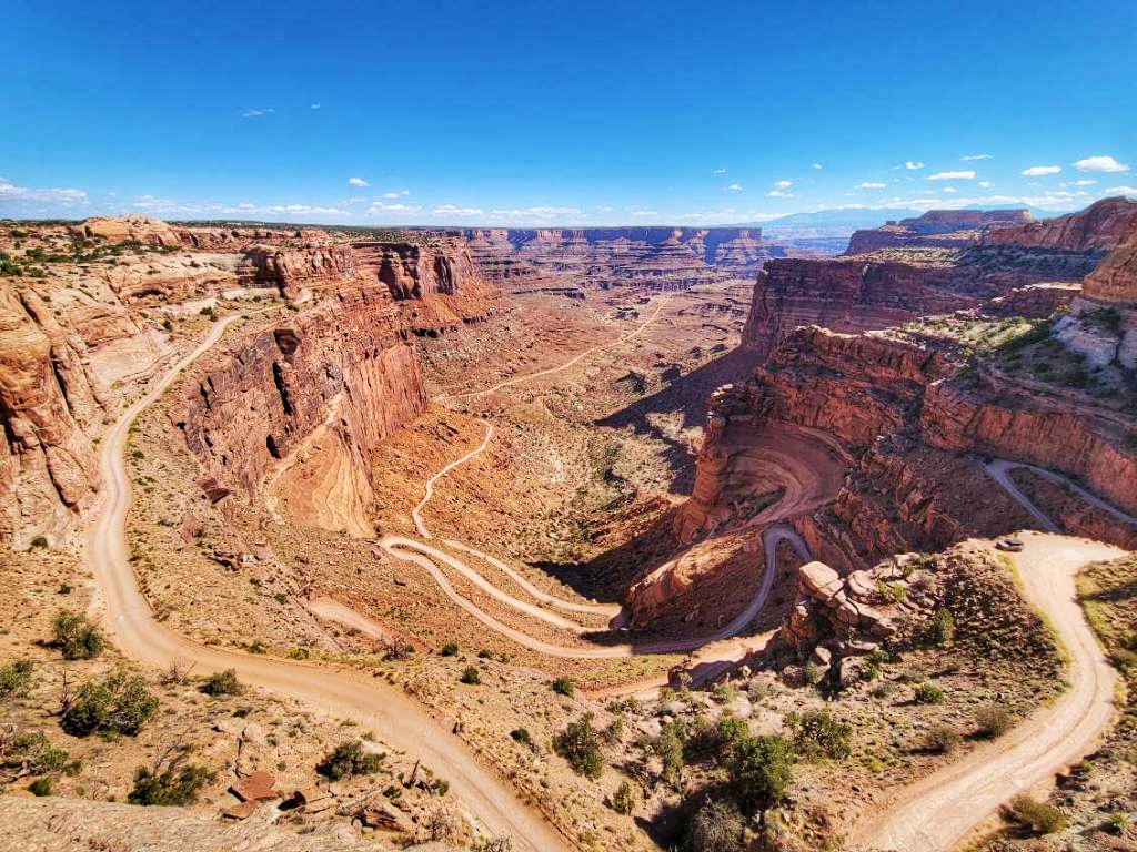
High-clearance, 4WD vehicles with a low range gear are highly recommended for both roads, and a day use permit or overnight permit is required for the White Rim Road. We had no problem picking up a day use permit on the morning of our trip at the visitors center.
The Green River and Colorado River divide the park into three districts: Island in the Sky, The Maze, and The Needles. Each district offers unique views, adventures and experiences so if you can visit more than one you’ll get something different:
Island in the Sky offers widespread views over deep canyons;
The Needles in the southeastern part of the state is home to hikes through rock spires;
The Maze is in a more isolated area filled with labyrinth-like canyons, giving the district its name.
Island in the Sky is the most accessible and most visited region of Canyonlands and is about 40 minutes from Moab.
Great hikes in Canyonlands National Park:
Island in the Sky
White Rim Overlook, 1.8 miles
Grand View Point, 1.8 miles
Mesa Arch, 0.6 miles (a popular and great place to see sunrise!)
Murphy Point, 3.4 miles
Upheaval Dome, 0.6 miles
Whale Rock, 0.8 miles
Aztec Butte, 1.4 miles
Gooseberry Canyon, 4.6 miles
The Needles
Pothole Point, 0.6 miles
Slickrock, 2.4 miles
Chesler Park Viewpoint, 5.8 miles
Big Spring to Wooden Shoe Canyon, 7.5 miles
Big Spring Canyon to Lost Canyon, 8.7 miles
The Maze
Horseshoe Canyon, 7 miles
While at Canyonlands, a pit stop at Dead Horse Point State Park is totally worth it as it is just down the road (and if you are driving a 4WD down Shafer Trail, you can drive back to Moab through Dead Horse Point State Park via Potash Road).
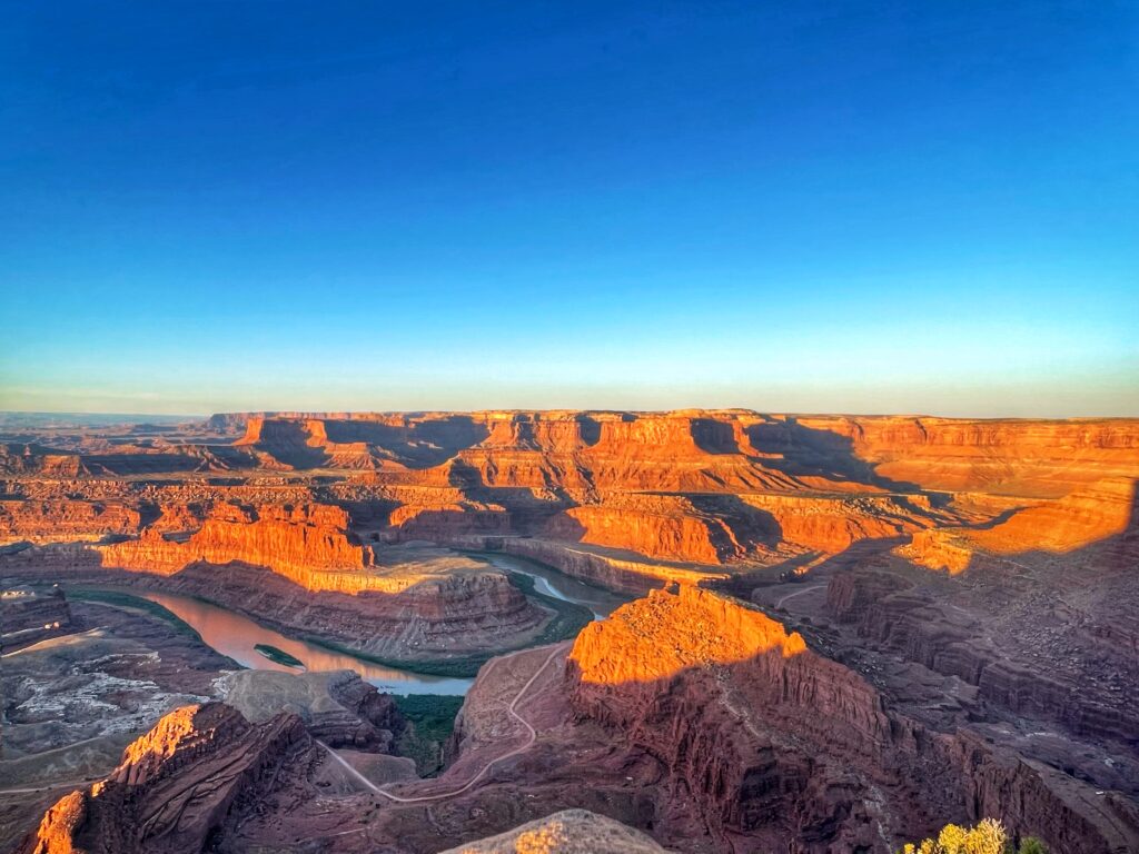
Sunrises and sunsets are especially memorable at Dead Horse Point where you can see canyon walls bathed in golden light and breathtaking views of the Colorado River 2,000 feet below.
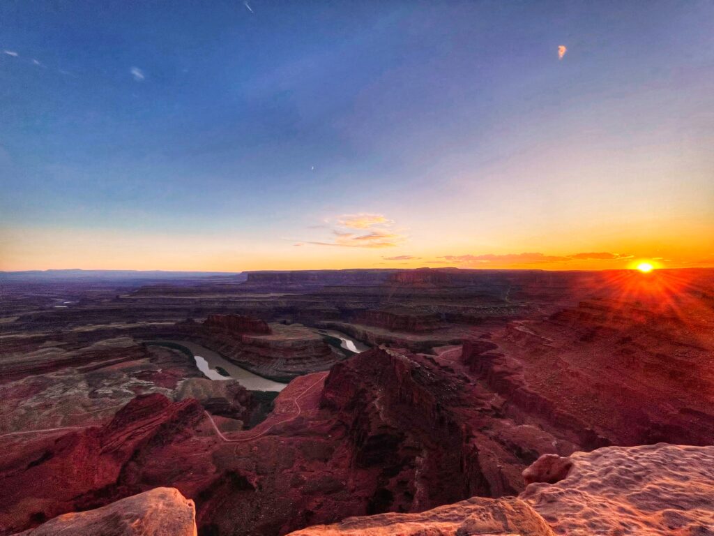
Dead Horse Point State Park has a $20 entrance fee, as they are a Utah State Park and don’t accept national park passes like the America the Beautiful pass.
We camped at Dead Horse Point for three nights while we visited the Moab area and really loved the campground, plus the added bonus of several spectacular sunrises and sunsets.
There are a few other hikes in the Moab area, near Arches and Canyonlands, that are worth hiking and exploring:
Fisher Towers Trail, 4.2 miles
Grandstaff Trail, 5.7 miles
Corona and Bowtie Arch Trail, 2.4 miles
Wilson Arch Trail, 0.6 miles
Hells Revenge, UTV Tour
And if you’re looking for restaurants in the Moab area we enjoyed the Moab Food Truck Park and Proper Brewing Moab, but Doughbird, Quesadilla Mobilla and Antica Forma also come highly recommended.
CAPITOL REEF NATIONAL PARK
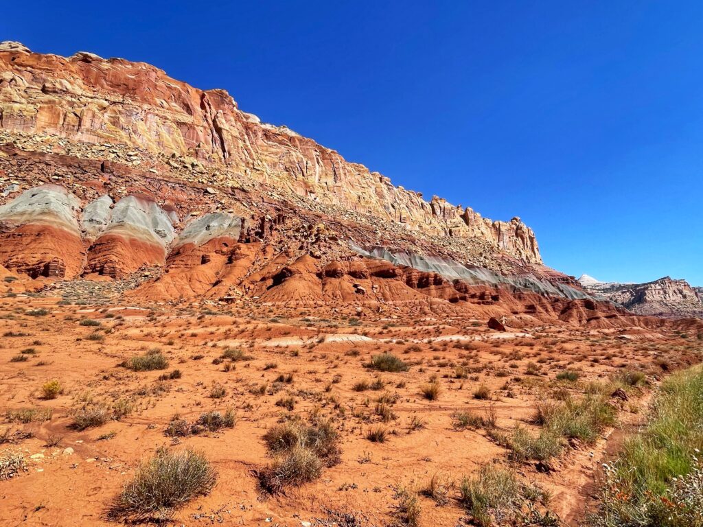
On our way from Moab to Zion we stopped at Capitol Reef National Park, which was a great way to split up our drive for lunch, a scenic drive and a short hike; but if we could do anything differently, I would dedicate at least a full day to exploring Capitol Reef.
Capitol Reef, named by early settlers who thought the white domes of Navajo Sandstone resembled the dome of the Capitol Building in Washington, D.C., offers a stunning landscape and is home to a number of cultural and historic sites, including the Fruita Rural Historic District where visitors can pick fruit (like apples, peaches and cherries) seasonally.
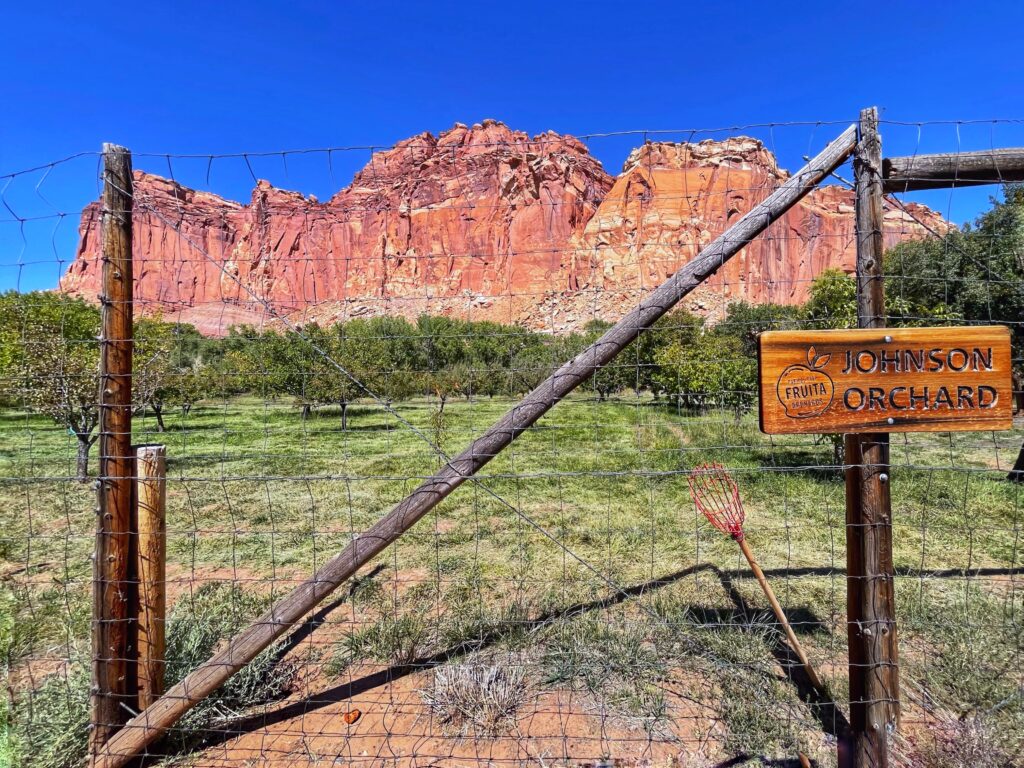
One of the defining characteristics about Capitol Reef is the Waterpocket Fold, a wrinkle in the Earth’s surface (that was formed 50 to 70 million years ago) that goes on for about 100 miles and creates the park’s dramatic red rock landscape. The 7.9 mile scenic drive throughout the park is the only paved road that crosses the Waterpocket Fold.
My favorite fun fact about Capitol Reef is that they sell homemade pie and ice cream at the Gifford Homestead, a historic farmhouse built by Mormon settlers in the 1900s, and the only disappointing part of our visit to Capitol Reef (other than we needed more time there!) was that they were sold out of pie when we stopped in after lunch, so we settles for some homemade jams and jellies. Lesson learned: get to Capitol Reef early for pie!
Great hikes in Capitol Reef National Park:
Capitol Gorge, 1.0 miles one-way
Goosenecks, 0.1 miles one-way
Grand Wash, 2.2 miles one-way
Sunset Point, 0.4 miles one-way
Hickman Bridge, 0.9 miles one-way
Cassidy Arch, 1.7 miles one-way
Chimney Rock Loop, 3.6 miles round trip
BRYCE CANYON NATIONAL PARK
We dedicated a full day to exploring Bryce Canyon National Park (we stayed in Zion for four nights and drove the 2 hours to Bryce which felt very doable, but many people will stay closer to the park).

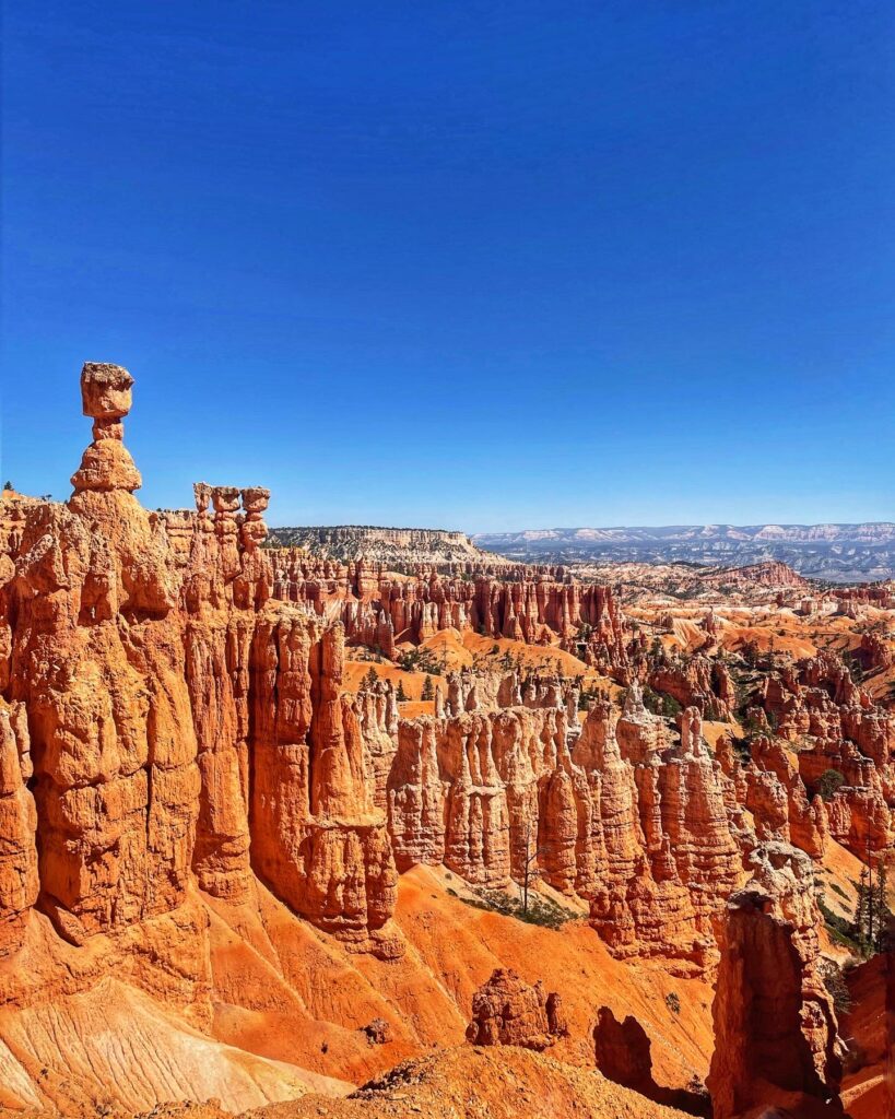
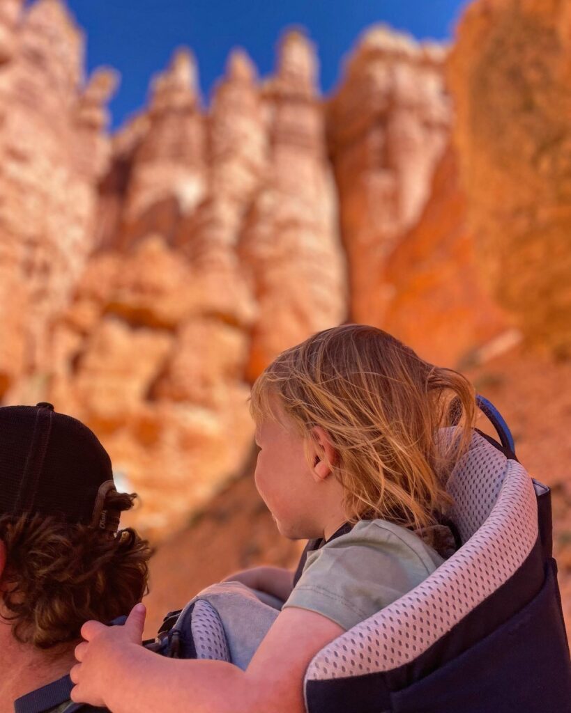
Bryce Canyon’s landscape is so different from the other Utah national parks due to the hoodoos, which are tall, skinny shafts of rock that protrude from the bottom of arid basins and range in height from five feet tall to a ten story building. In fact, Bryce Canyon is home to the world’s largest collection of hoodoos. A few other Bryce facts:
Bryce Canyon is not actually a canyon, it is a series of about a dozen amphitheaters eroded into an escarpment.
Bryce Canyon is the smallest national park in Utah.
Bryce Canyon is at a higher elevation than the other Utah national parks, which means cooler temperatures, which is a relief to visitors especially in the summer months.
We recommend doing the 18 mile scenic drive through the park, with stops at Inspiration Point, Bryce Point, Natural Bridge, Yovimpa Point and Rainbow Point.
Bryce Canyon is home to a historic lodge built in 1924, which is a full-service accommodation with a variety of different rooms (including stand alone cabins) and dining options. We ate lunch on the patio at Vahalla Pizza which was a great option after a long hike.
Great hikes in Bryce Canyon:
Sunrise Point to Sunset Point via the Rim Trail, 1.0 mile
Queen’s Garden Trail, 1.8 miles
Navajo Loop (includes Wall Street), 1.3 miles
Queen’s Garden Navajo Combination Loop, 2.9 miles
Tower Bridge, 3.0 miles
Fairyland Loop, 8.0 miles
Peekaboo Loop, 5.2 miles
Navajo Peekaboo Combination Loop, 4.9 miles
Figure-8 Combination, 6.4 miles
Mossy Cave, 0.8 miles
Bristlecone Loop Trail, 1.0 mile
ZION NATIONAL PARK
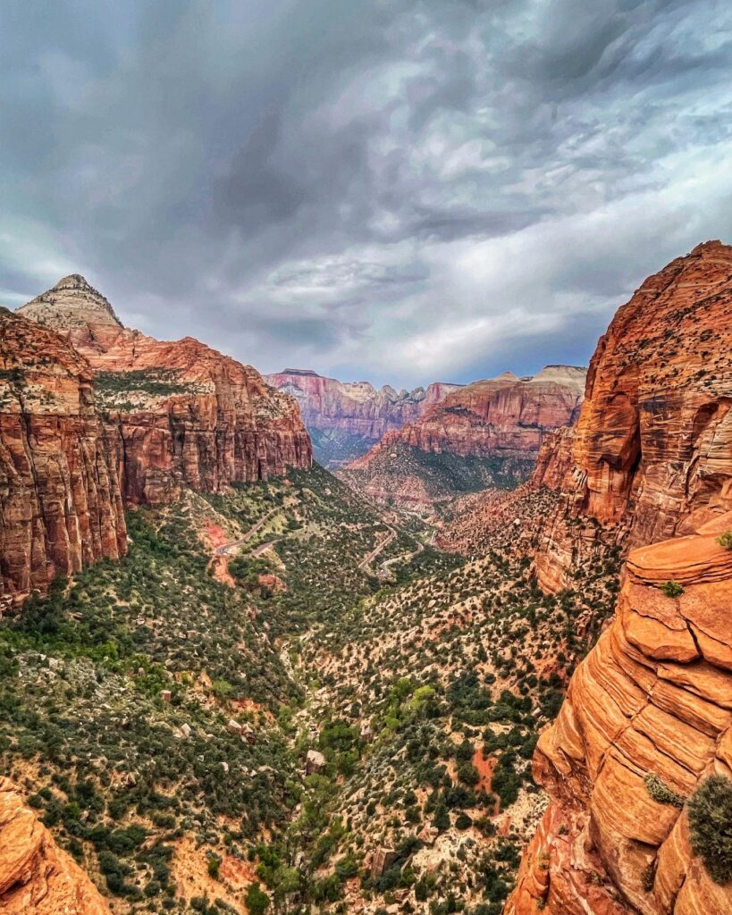
Zion is often considered the crown jewel of the state’s national parks, and is the third most visited park in the country with almost 5 million annual visitors, behind Great Smoky Mountains National Park and Grand Canyon National Park. Its towering red rock formations, iconic hikes like Angels Landing and The Narrows, and the majestic Zion Canyon are a must-see.
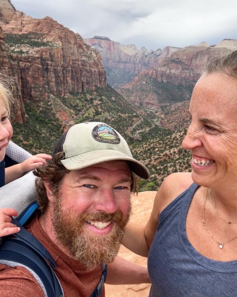
While you can drive through the park, to get to most of the hikes and views through Zion Canyon you have to park and ride one of the park’s shuttles, offering all day service (from 7am to 7pm) to nine stops throughout the park. Parking for the shuttle in the Visitor Center parking lot is free, but it fills up fast (you need to get an early start while in Zion because the parking lot was full by 8am most days we were in Zion) so you can also park and ride in nearby Springdale, which also runs shuttle buses into the park and has 10 stops throughout the town.
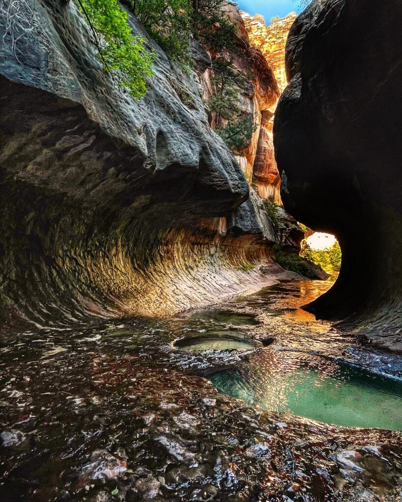
One of the highlights of our trip was the last day when we hiked The Subway in Zion, a nine mile hike up the Left Fork of North Creek to a slot canyon whose walls arch overhead to create a tunnel-like effect. It was hard (including hiking both down, and then up a 400 foot gorge to get to the creek) but it was so worth it!
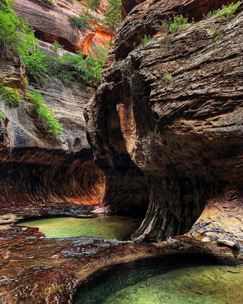
It took us about seven hours with stops for breaks, photos, a quick swim and lunch. You need a wilderness permit to hike The Subway, and the park offers three ways to try to snag a permit:
Advance Lottery: An online lottery is held two months in advance for all trips scheduled from April to October. You can submit up to three dates that you prefer and you’ll be contacted on the 5th of the following month with an updated status to your request (this is how we were able to get our permits, one of the days we submitted into the lottery for had 500 applicants!)
Calendar Reservations: Sometimes a few spaces remain after the lottery, and these are available one month in advance of your trip. They go live on the 5th of the month at 10AM mountain time.
Last Minute Drawing: A last minute drawing is available 2 days in advance of your planned trip if you were unlucky with the lottery or calendar reservations. You can submit your request up to seven days in advance and the drawing takes place 2 days before the trip date at 1pm mountain time. Any spaces not taken through this process are available as walk-in permits the day before a trip date.
No matter which way you obtain your wilderness permit, you need to plan to pick it up in person at the visitor’s center the day before or the day of your hike.
Great hikes in Zion National Park:
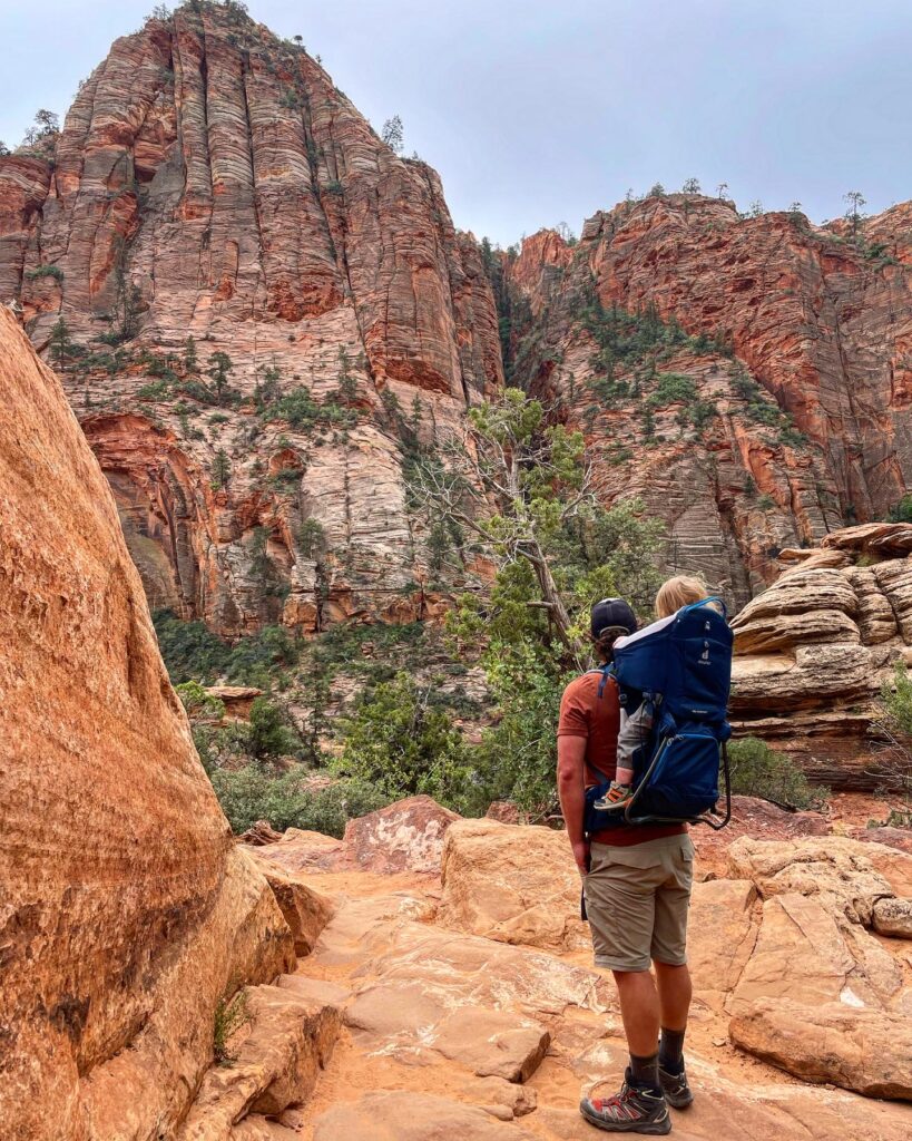
Zion Canyon Overlook, 1.0 miles
Scout Lookout via the West Rim Trail, 4.5 miles (a great alternative if you are unable to get an Angel’s Landing permit)
Watchman Trail, 3.3 miles (trailhead is at the visitor center parking lot)
Emerald Pools Trail, 3.4 miles
Zion Narrows Riverside Walk, 2.2 miles
The Narrows, Virgin River, up to 9.2 miles (at least 60% of the hike is spent wading, walking, and sometimes swimming in the river. Travel is rough and slippery in cold, fast flowing water. High water levels can prevent access)
Pa’rus Trail, 3.5 miles
Grotto Trail, 1 mile
Weeping Rock Trail, 0.4 miles
Sandbench Trail, 4.0 miles
Angels Landing, 5.4 miles
MONUMENT VALLEY
Monument Valley Navajo Tribal Park, situated on the Arizona-Utah border, is famous for its dramatic red sandstone buttes, mesas, and monoliths that pierce the vast desert floor, some towering to heights for 400 to over 1,000 feet. Monument Valley is not only a geological marvel but also holds deep cultural significance as it is located within the Navajo Nation, offering visitors a chance to explore the rich history, traditions, and stories of the indigenous Navajo people.
It takes about one hour to complete the 17 mile scenic drive through the tribal park, on an unpaved dirt road. The entrance fee is $8 and you can reserve this online ahead of time (National Parks’ passes are not accepted because this is Navajo Tribal land). There are also guided tours offered of the area and a short hiking trail, the Wildcat trail, that is 1.5 miles.
GRAND STAIRCASE-ESCALANTE NATIONAL MONUMENT
Grand Staircase-Escalante National Monument, informally known as Escalante, is protected land that sits between Bryce Canyon National Park and Capitol Reef National Park in Southern Utah, panning across nearing 1.87 million acres.
The main visitor center for Grand-Staircase Escalante is located in Kanab, Utah, with a few other visitor centers located throughout the national monument, and it is also home to two established car campgrounds, Calf Creek Campground and Deer Creek Campground which are both first-come, first-serve (the sites at Deer Creek Campground have no potable water so you have to bring your own).
There are also numerous free campsites scattered throughout the monument; a dispersed camping free overnight permit is required for camping outside of developed campgrounds.
Great Hikes in Grand Staircase-Escalante:
Lower Calf Creek Falls, 6.7 miles (dogs allowed on leash, this is one of the more accessible and popular hikes in Grand Staircase-Escalante partly because the trailhead is directly on the main highway)
Upper Calf Creek Falls, 2.1 miles
Golden Cathedral and Neon Canyon, 9.1 miles
Peekaboo Canyon and Spooky Slot Canyon, 5.7 miles (Escalante is also home to some of the narrowest non-technical and easily accessible slot canyons in Southern Utah)
Zebra Canyon, 5.2 miles
SAMPLE 7 DAY ITINERARY EXPLORING UTAH’S NATIONAL PARKS
In this national parks road trip itinerary, I give options for both Salt Lake City or Las Vegas as a starting point.
Day 1: Fly into Salt Lake City International Airport. Drive the four hours to Moab, Utah.
Day 2: Arches National Park
Day 3: Canyonlands National Park, Island in the Sky District, and Dead Horse Point State Park. Drive the two and a half hours to Capitol Reef National Park.
Day 4: Capitol Reef National Park. Drive the two and a half hours to Bryce Canyon National Park.
Day 5: Bryce Canyon National Park. Two hour drive to Zion National Park.
Day 6: Zion National Park.
Day 7: Drive two hours to Las Vegas or make it a round trip and drive three hours and forty five minutes to Salt Lake City to fly home (you can also fly out of St. George’s Utah which is one hour away but a much smaller airport).
You could also do this trip in reverse, flying in and out of Las Vegas, or into Las Vegas and out of Salt Lake City. If flying into Vegas, you’d go to Zion first, then Bryce Canyon, then Capitol Reef, and then to Moab for Arches and Canyonlands.
SAMPLE 10 DAY ITINERARY EXPLORING THE UTAH MIGHTY FIVE
With the addition of three days you have a little bit of time to slow down as well as spend time in state parks and national monuments.
Day 1: Fly into Salt Lake City, drive to Moab.
Day 2: Arches National Park
Day 3: Canyonlands National Park and Dead Horse Point National Park
Day 4: Goblin Valley State Park (on the way to Torrey, Utah)
Day 5: Capitol Reef National Park
Day 6: Grand Staircase-Escalante National Monument
Day 7: Bryce Canyon National Park
Day 8 and 9: Zion National Park and Valley of Fire State Park
Day 10: Fly home from Las Vegas or Salt Lake City
Just like above you could reverse this by flying into Vegas, and starting in Zion and Valley of Fire, then moving to Bryce Canyon, Escalante, Capitol Reef, then to Moab for Canyonlands and Arches, and then fly out of Salt Lake City or back to Vegas.
SAMPLE 12 DAY ITINERARY EXPLORING UTAH’S NATIONAL PARKS
Like I mentioned at the beginning of this post, our trip was 12 days total, but we spent two days in Rocky Mountain National Park and two days in Denver before driving to Utah, and then spending eight days exploring Utah’s national parks. If you’d like to dedicate your entire trip to Utah and have extra time, here’s my recommendation:
Day 1: Fly into Salt Lake City International Airport. Spend the day exploring Salt Lake City and stay overnight, or drive the four hours to Moab, Utah.
Day 2: Arches National Park
Day 3: Canyonlands National Park, Island in the Sky, and Dead Horse Point State Park
Day 4: Drive one hour and forty five minutes south to Canyonlands Needles District, and then an additional hour to Monument Valley Navajo Tribal Park near Oljato, Utah.
Day 5: Drive just over three hours to Kanab, Utah, where you could explore slot canyons, Lake Powell, Kodachrome Basin State Park, Antelope Canyon, Horseshoe Bend or Coyote Buttes North (The Wave). In about an hour and a half from Kanab you could also visit the North Rim of the Grand Canyon.
Day 6: Spend an additional day for adventures in Kanab or make the short drive (30 minutes) to Zion National Park.
Day 7: Zion National Park
Day 8: Zion National Park, Valley of Fire State Park and Sand Hollow State Park
Day 9: Bryce Canyon National Park and Red Canyon in Dixie National Forest
Day 10: Grand Staircase-Escalante National Monument
Day 11: Capitol Reef National Park
Day 12: Back to Salt Lake City to fly home.

